Mayon Volcano's perfect cone awaits. It's 325 km southeast of Manila, near Legaspi. For safety, avoid the 6-kilometer Permanent Danger Zone. March to May offers clearest views. Best photos are early morning or late afternoon. Find the best viewpoints to capture its iconic shape.
Understanding the Volcano's Location
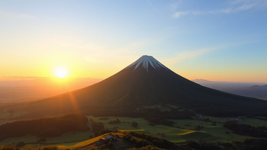
Mayon Volcano, on Luzon (the Philippines' largest island), is in Albay province, Bicol Region. It's 325 km southeast of Manila and 473 km from Makati.
Located north of Legaspi, it's 10 km from Albay Gulf.
Situated in the Bicol Arc—one of seven Philippine Mobile Belt subduction zones—Mayon is part of the Pacific Ring of Fire.
The highest point in Albay and Bicol Region, it's shared by eight cities and municipalities.
Volcanic Activity and Safety
Mayon Volcano's recent activity highlights its Pacific Ring of Fire location.
| Volcanic Activity | Safety Measures |
|---|---|
| High unrest; frequent earthquakes and rockfall. | Avoid the 6-kilometer Permanent Danger Zone (PDZ). |
| Slow lava effusion from the summit crater, extending 3.4 kilometers along Bonga Gully. | Evacuations and flight advisories in effect. |
| Sulfur dioxide emissions above background levels. | PHIVOLCS monitoring via seismic networks, GPS, and electronic tilt. |
| Ash plumes to 2.7 km, drifting variably. | Pilots avoid summit due to ash and gas. |
Recent activity caused evacuations, relief efforts, and health concerns. 38,400 people across 26 Albay barangays affected. Check volcano activity and follow safety guidelines before visiting.
Planning Your Visit
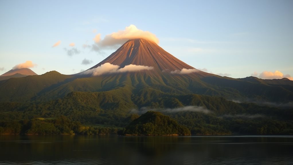
Mayon Volcano's stunning landscape attracts adventurers and nature lovers.
Visit March–May (dry season) for clear views. Early mornings offer the best visibility; sunny days are ideal for photography. Check the weather forecast.
Transportation options include rental cars/vans, jeeps from Legazpi Downtown, taxis, or ride-hailing services. Sedan, MPV, or SUV rentals are available.
Stay in Legazpi City for easy access to attractions. Book accommodations and consider package deals (board, lodging, transfers) in advance.
Choosing the Best Viewpoint
Choose your Mayon Volcano viewpoint:
Cagsawa Ruins: Historic backdrop, Albay's most visited attraction.
Sumlang Lake (Camalig, Albay): Unobstructed volcano views.
Ligñon Hill View Deck (Daraga, Albay):
Panoramic views, cooler climate.
Mayon Best View (Camalig, Albay):
Stunning cone views, rich local culture.
Quitinday Green Hills (Albay):
Picturesque volcano perspective, lush landscape.
Photography Tips and Tricks
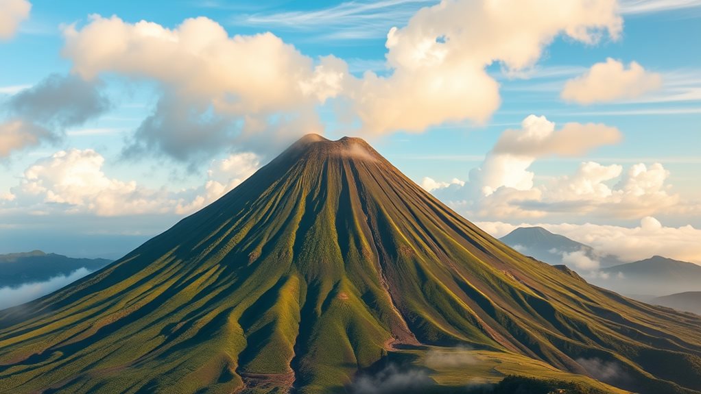
Shoot Mayon Volcano's perfect cone at dawn (4–9 am) or dusk (4 pm onward) to avoid midday clouds and get dramatic light.
Use a high-quality camera, a tripod, and long exposures to smooth clouds and crater smoke.
Add depth with foreground elements (boats, trees) and natural frames (cloud openings).
Balance your composition using landmarks like Cagsawa Ruins or Daraga Church and landscape curves.
Check weather and volcanic activity alerts.
Bring water, snacks, and gear.
Wear comfortable clothes and sturdy shoes.
Plan multiple visits due to variable weather.
Guided Tours and Local Insights
Explore Mayon Volcano with guided tours.
Adventure seekers: thrill-seeking ATV tours across forests, rivers, rice paddies, and volcanic terrain. ATV tours are available in 150cc solo and 350cc double options.
Guides and photography included.
Prefer a calmer experience? Cultural and sightseeing tours visit Cagsawa Ruins; sample local food.
Trekking/hiking (e.g., Farmer's Trail) offers crater views.
Customize your tour: senior-friendly options, private transfers, and meals are available.
Choose your adventure: action, culture, or scenery; understand Mayon Volcano better.
Best Times to Visit Mayon
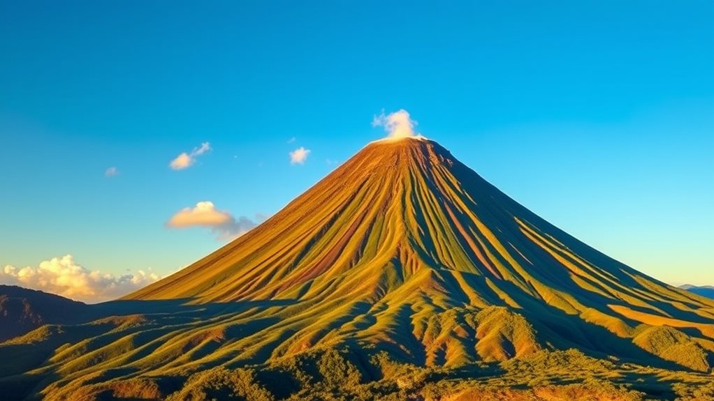
Visit Mayon Volcano during the dry season (December to May) for clear skies and fewer crowds. Stable weather is ideal for sightseeing and photography.
Early mornings and late afternoons offer the best views, with clear skies and vibrant sunset colors. Avoid midday heat and clouds.
Check the weather forecast.
Preparing for the Climb
Climbing Mayon Volcano: Prepare for the Challenge
Mayon Volcano presents a significant challenge. Proper planning is crucial for a safe climb.
Essential Preparations:
| Category | Description | Importance |
|---|---|---|
| Route | Buyuhan or Buana Trail (2-3 days, mountainside camping) | High |
| Weather | Check PHIVOLCS for weather and volcanic activity. | High |
| Physical Fitness | Requires significant strength, especially for the final ascent. | High |
Gear: Pack sturdy hiking boots, lightweight clothing, safety gear, first-aid kit, map, compass, and consider a GPS or satellite messenger. Secure transportation. Bring ample food, water, a charged cellphone, and a power bank or solar panel. Hiring a guide is strongly recommended.
Why Should Mayon Volcano Be the Highlight of Your Bicol Adventure?
Mayon Volcano, with its near-perfect cone, is the crown jewel of Bicol. Its breathtaking beauty dominates the landscape, offering unforgettable vistas for nature lovers and adventurers. For anyone planning a trip, “bicol travel mayon volcano hidden gems” should be your guide to exploring its trails, nearby waterfalls, and rich cultural heritage.
Maintaining a Safe Distance
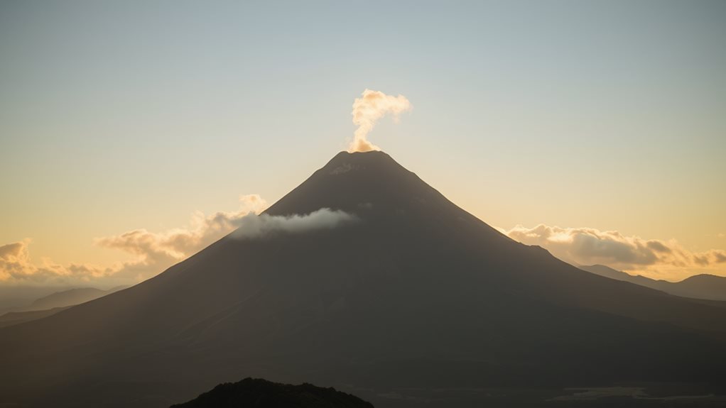
Mayon Volcano's 6-km Permanent Danger Zone (PDZ) and 7-km Extended Danger Zone (EDZ) aren't aesthetic concerns; they're critical safety measures.
Explosions, rockfalls, and landslides are constant threats within these zones.
Climbing Mayon requires a permit and a professional guide are mandatory.
Protective gear—helmets, gas masks, sturdy shoes—is mandatory.
Stay outside designated danger zones.
Capturing the Perfect Shot
Mayon Volcano demands respect.
Capture its power with these settings and techniques:
Night shots:
Use ISO 100 to avoid noise and overexposure.
Fireworks/lava:
Use exposures up to 20 seconds.
Enable noise reduction.
Adjust ISO and aperture manually:
High ISO freezes lava;
low ISO blurs it.
Composition:
Focus on eruptions and fireworks.
Balance the frame with landscape features (trees, houses).
Best time:
March-May (dry season).
Shoot early mornings for clear views.