You explore the Philippines, traversing its archipelago of 7,641 islands, stretching from lush Mindanao to vibrant Luzon. Bounded by the South China Sea, Philippine Sea, and Celebes Sea, the islands offer diverse landscapes, from bustling urban centers to pristine marine parks. You encounter major island groups like Luzon, Visayas, and Mindanao, each with its unique cultural and economic profile. Active volcanoes and frequent earthquakes shape the land, influencing agriculture and biodiversity. Coastal communities rely on fishing and tourism, balancing exploitation with conservation efforts. Tugging at the heart of this extensive archipelago's mysteries awaits you.
Geographic Positioning
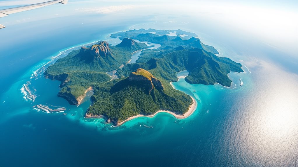
In Southeast Asia, you find the Philippines, situated above the equator in the northern and eastern hemispheres, with GPS coordinates pinpointing your location at 14° 34' 59.99" N latitude, 121° 00' 0.00" E longitude.
The island geography comprises an archipelago of 7,641 islands, each contributing uniquely to the country's landscape. Bounded by the South China Sea to the west, the Philippine Sea to the east, and the Celebes Sea to the south, these islands form a complex coastal geography.
Coastal ecosystems are prevalent, with mangroves, coral reefs, and seagrass beds playing essential roles. The Philippine Archipelago, sharing maritime borders with Taiwan, Japan, Palau, Indonesia, Malaysia, and Vietnam, underscores its strategic importance. The complex coastline measures 36,289 kilometers, ranking fifth longest globally.
This positioning makes the Philippines vulnerable yet resilient to the natural forces of the Pacific Ring of Fire, including earthquakes and typhoons, shaping both the island geography and coastal ecosystems over millennia.
Island Overview
The Philippines is divided into three main island groups: Luzon, Visayas, and Mindanao.
Luzon, the largest and most populous island, hosts over half of the country's population, including Metro Manila, one of the world's most densely populated cities. 15th largest globally
Visayas consists of several islands like Cebu, Negros, Panay, Samar, and Bohol, known for their dense population and diverse cultures.
Mindanao, the second largest island, is rich in agricultural production and features a variety of landscapes such as volcanic mountains.
Each island group showcases unique cultural diversity and traditions, with over 100 cultural minority groups scattered throughout.
The islands offer significant tourism potential, featuring historical landmarks like the Tubbataha Reef and Mount Hamiguitan Wildlife Sanctuary.
However, these areas face ecological challenges, such as deforestation and pollution, threatening marine conservation and the survival of indigenous communities.
Despite these challenges, the Philippines presents vast economic opportunities through sustainable tourism and agricultural practices.
Ocean Boundaries
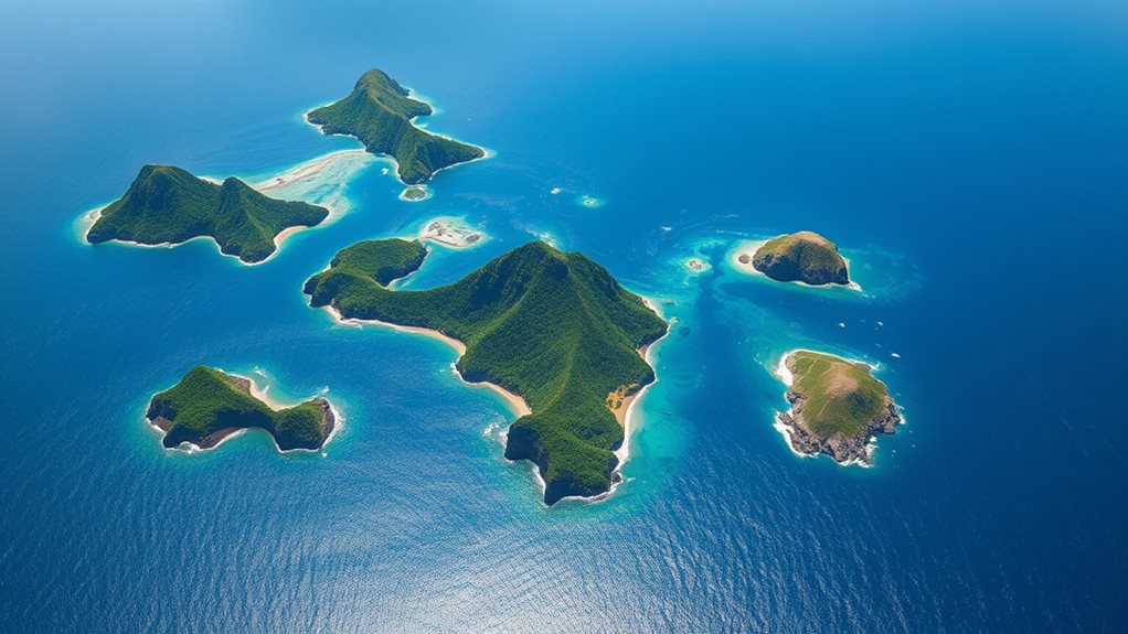
Bound by complex maritime territories, you discover the Philippines' western border stretches across the South China Sea, sharing borders with Vietnam and Malaysia.
Moving eastward, you encounter the Philippine Sea, a significant part of the Pacific Ocean shaping the eastern coastline and extending northwards towards Japan.
The Visayan Sea, nestled in the central region, plays an important role in the country's maritime resources.
To the south, the Celebes Sea includes the Sulu Archipelago and forms the southern extent of the Philippine archipelago, near Indonesian islands like the Moluccas and Sulawesi.
Northwards, the Bashi Channel separates you from Taiwan, with the Luzon Strait offering passage near Y'Ami, the northernmost point in the Batanes Islands.
These oceanic ecosystems support diverse marine life and rich maritime resources, fundamental for the Philippines' ecological and economic balance. The Philippines' coastline measures 36,289 km, which is among the longest in Southeast Asia.
Maritime Neighbors
Above and beyond your immediate horizons, you'll find the Philippines surrounded by a complex network of maritime neighbors, each relationship marked by both cooperation and conflict.
You share waters with Taiwan to the north, Japan to the northeast, and expanding your eastern and southeastern horizons with Palau, while also bordering Indonesia to the south and Malaysia to the southwest.
Maritime disputes are prevalent, especially in the South China Sea, where territorial sovereignty is contested, particularly with China. The country's Exclusive Economic Zone (EEZ), covering 2,263,816 square kilometers of sea, faces China's nine-dash line claim impacting your fishing rights and economic activities. Reinforces
The Arbitral Tribunal's ruling against China's demarcation in 2016 sought to clarify these issues; yet, illegal fishing and artificial island construction by China continue, leading to environmental concerns and diplomatic tensions.
Conflicts arise, such as the sinking of F/B Gem-Ver 1, where naval presence becomes essential.
Regional cooperation within ASEAN and forums like the Asia-Pacific Economic Cooperation and the East Asia Summit aim to mitigate these issues, enhancing economic impact and securing maritime resources, while also focusing on mutual defense and peace in the region.
Rescue of Filipino fishermen by a Vietnamese boat highlights collaboration in times of emergency, showcasing the complexity of relations in this maritime landscape.
Northern Extent

Exploring ever northward, one eventually encounters Mavulis Island, the northernmost point of the Philippines, situated in the province of Batanes.
Located approximately 280 km from Luzon's northern coast and closer to Taiwan at just 140 km, Mavulis overlooks the Bashi Channel, a significant maritime passageway.
Uninhabited yet marked by human endeavor, Mavulis boasts a fisherman's shelter equipped with solar power, a desalination plant, and a helipad. The shelter can accommodate at least 20 people and is equipped with solar power and a desalination plant, making it a reliable refuge for fishermen during storms refuge.
A multi-purpose facility and military detachments are under development, highlighting its strategic importance for defense operations.
The island's location is essential for safeguarding Philippine maritime borders and could serve as a staging post in potential regional conflicts.
Visiting Mavulis involves flying to Basco, Batan Island, and then transferring to a boat headed to Itbayat, followed by a private vessel to Mavulis, taking around 6 to 8 hours total, guided tours included.
Main Island Groups
Having charted the northernmost reaches of the Philippines, venturing from Mavulis Island back to the mainland reveals a diverse archipelago divided into major island groups.
These groups, Luzon, Visayas, and Mindanao, organize the regions geographically and contain a variety of islands characterized by unique cultural diversity and historical significance.
Visayas festivals, such as Dinagyang and Ati-atihan, highlight the vibrant cultural heritage of the region, while Mindanao heritage is particularly significant for its Islamic presence, notably in the Autonomous Region for Muslim Mindanao (ARMM).
Geographical features like Mindanao's Mt. Apo and the Diuata Mountains contrast with Luzon's Mt. Pinatubo, Mt. Mayon, and Taal Volcano, showcasing the island biodiversity.
Notable lakes include Laguna de Bay and Taal Lake on Luzon, and Lake Sultan Alonto on Mindanao, adding to the rich environmental landscape.
Population distribution within these island groups varies, with Luzon hosting the largest portion of the national population at 57.04%, followed by Mindanao at 24.08% and Visayas at 18.88%.
Annual population growth rates reveal that Luzon's population is growing at a slightly higher rate compared to the other two main island groups.
Major cities such as Quezon City on Luzon, Cebu City on Visayas, and Davao City on Mindanao anchor economic and cultural activities, further underlining the geographical and socio-cultural complexities across the archipelago.
Luzon Facts
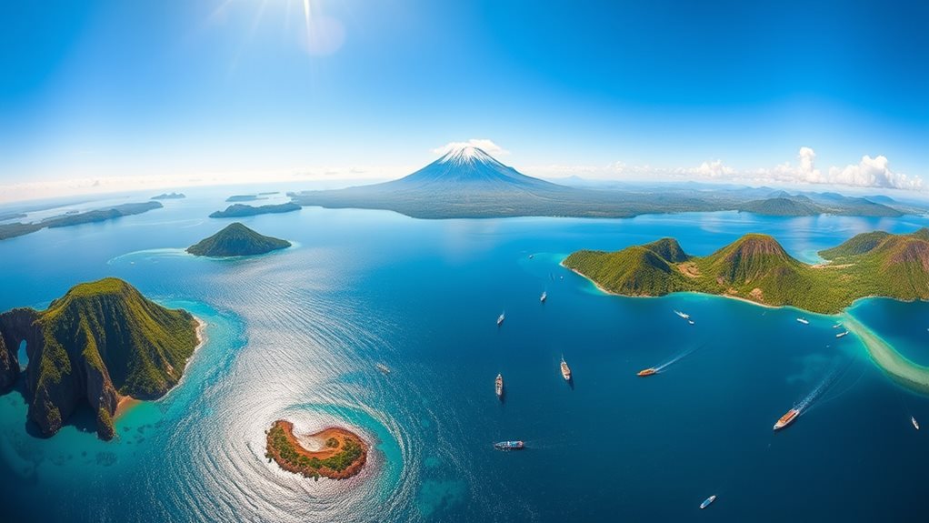
Luzon, the cornerstone of the Philippines, sits prominently in the northern part of the archipelago, bordered by the Philippine Sea to the east, the Sibuyan Sea to the south, and the South China Sea to the west.
This island, the largest in the Philippines, features a diverse geography with mountain ranges like the Cordillera Central and Zambales Mountains, and volcanoes such as the active Mayon.
Luzon culture thrives amidst its natural beauty, with festivals like the Sinulog in Cebu reflecting local traditions.
The island's economy is robust, driven by agriculture and industry, with major grain-producing regions and extensive coconut plantations.
Luzon festivals, from the colorful Harvesting Festival to the historically significant Moriones Festival, celebrate this rich cultural tapestry. Luzon is home to 38 provinces, each contributing to its vibrant landscape and heritage.
Metropolitan Manila
The heart of the Philippine archipelago beats in Metropolitan Manila, where an estimated 12 million people resides in its bustling urban landscape, expanding to 21.3 million in the larger urban area, making it the most densely populated region in the country.
Quezon City boasts the largest city population at 2.96 million as of 2020. This rapid population dynamics fuels urban development, with Tondo, the most populous district in Manila, accounting for 38% of the city's total. Urban challenges are significant, with the city facing transportation issues affecting daily commuters maneuvering through dense traffic and limited public transport options.
Despite its wealth, Metropolitan Manila faces significant transportation challenges, affecting daily commuters maneuvering through dense traffic and limited public transport options.
Economically, the region drives national growth, contributing 31.5% of the country's GDP through key sectors like manufacturing and wholesale trade.
Cultural diversity thrives, with the city hosting numerous historical landmarks such as Intramuros and Fort Santiago, reflecting its rich past.
However, environmental issues persist, particularly with high population density leading to waste management and pollution problems.
Manila's ranking as an "Alpha-" global city and its home to major business centers and educational institutions underscore its importance in both cultural and economic spheres.
Visayas Composition
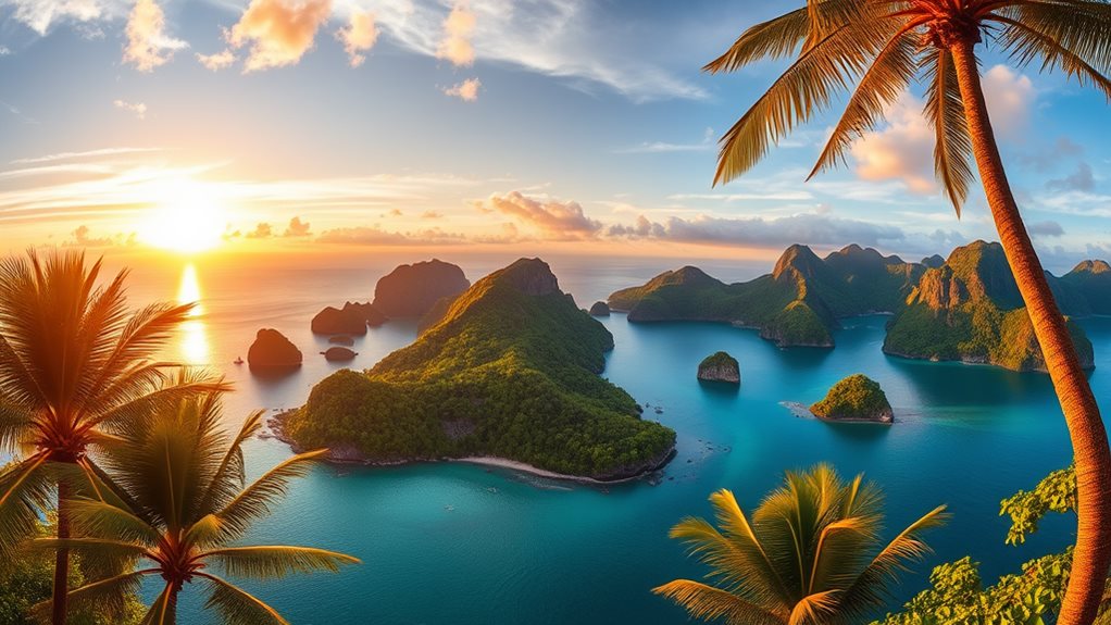
Exploring Visayas reveals a group of seven large and numerous smaller islands, clustered around the Visayan, Samar, and Camotes seas, with Bohol, Cebu, Leyte, Masbate, Negros, Panay, and Samar standing as the main hubs.
These islands form three administrative regions: Western Visayas, Central Visayas, and Eastern Visayas. Western Visayas encompasses Aklan, Antique, Capiz, Iloilo, Guimaras, and Negros Occidental, while Central Visayas includes Bohol, Cebu, Negros Oriental, and Siquijor. Eastern Visayas is made up of Biliran, Eastern Samar, Leyte, Northern Samar, Samar, and Southern Leyte.
You'll encounter high mountains and extensive forests, except on Samar and Masbate, which are more hilly. The population of 20,583,861 in Visayas showcases linguistic diversity with Cebuano, Hiligaynon, and Waray-Waray being major languages, alongside English in urban areas. High population density can be observed in urbanized areas.
Economically, Visayas relies on agriculture, fishing, and mineral resources like copper, gold, and silver, yet faces economic challenges due to inadequate infrastructure and underdevelopment in some sectors.
Environmental concerns revolve around deforestation and the protection of endangered species. Despite these issues, the region's natural beauty and the cultural richness of Visayan culture, local festivals, and regional cuisine offer significant tourism potential.
Noteworthy Islands
Seven islands in particular stand out for their unique blend of natural beauty, cultural richness, and economic potential, offering a diverse range of experiences for visitors and residents alike.
Palawan, with its El Nido and Puerto Princesa Bay, features top-class scuba diving and marine biodiversity, ideal for adventure sports.
Siargao, the Surfing Capital, offers island adventures in beautiful lagoons and pristine beaches, perfect for surfing enthusiasts.
Cebu mixes historical sites like Magellan's Cross with thrilling snorkeling and whale shark watching adventures.
Bohol's Chocolate Hills and Tarsier Sanctuary provide scenic countryside tours and diverse landscapes.
Boracay, with its white-sand beaches and world-class water sports, draws beach lovers.
Coron is famous for wreck dives and hiking trails, while Apo Island offers protected marine reserves and turtle sightings.
Siquijor, known for its folk-healers and tropical beaches, features cultural experiences and historical sites.
Mindanao Features
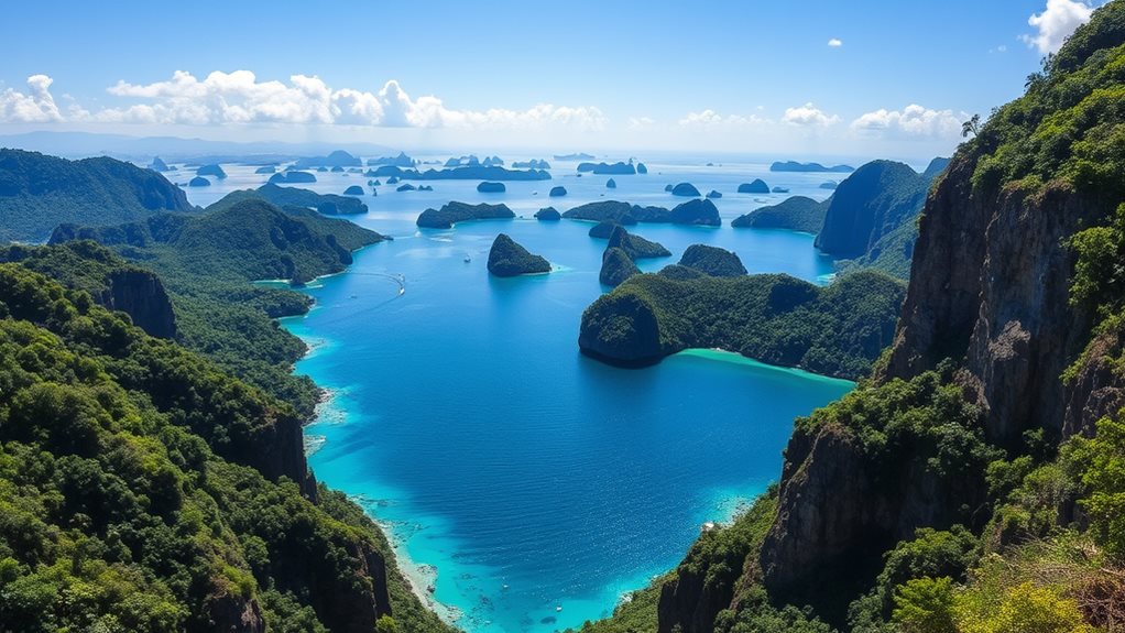
Within the vastness of the southern Philippines, upon the swirling seas of the Sulu and Celebes, lies Mindanao, a land of unparalleled diversity, where rugged mountains punctuate the sky, and ancient forests teem with life.
Mindanao culture is a tapestry woven from Muslim, Christian, and indigenous traditions, shaping its history and festivals. Geographically, the island boasts ten mountain ranges, including Mount Apo, the highest peak in the Philippines, and extensive plateaus like in Bukidnon and Lanao del Sur. The Lake Lanao covers 134 square miles (347 square km), making it a significant hydrological feature.
Hydrological features such as Lake Lanao and the Limunsudan Falls contribute to its natural beauty supporting Mindanao tourism. Mindanao agriculture thrives in its fertile basins, known for producing corn, rice, and a variety of fruits.
Wildlife, like the Philippine eagle, benefits from its dense forests, while its economy also leverages mining, timber, and fishing industries. The Museum of Three Cultures encapsulates the rich cultural heritage by highlighting the traditions of Christians, Muslims, and indigenous groups.
Muslim West Mindanao
Amidst Mindanao's diverse landscape and rich cultural tapestry, the historical narratives of the Muslim population in the western part of the island emerge as essential.
Muslim History in the region traces back to 1380 when Sunni Shaykh Makhdum Karim introduced Islam to the Sulu Archipelago and Mindanao, marking the beginning of a significant cultural transformation. Over the centuries, sultanates such as Sulu, Maguindanao, and Buayan emerged, maintaining independence from Spanish colonization. Indian, Chinese, and Persian Muslims played vital roles in shaping this Muslim History, enriching the Cultural Heritage of the area.
By the 15th century, these sultanates had control over substantial territories, including half of Luzon and much of Mindanao. Established
In 1989, the Autonomous Region in Muslim Mindanao (ARMM) was established, ensuring some level of self-governance. This region was later expanded to include additional areas and renamed the Bangsamoro Autonomous Region (BARMM) in 2019, reflecting the evolving autonomy and recognition of the region's unique Cultural Heritage.
Despite peace agreements and the establishment of BARMM, challenges such as clan feuding and intercommunal tensions continue to affect the region, highlighting the ongoing struggle for stability within the rich Muslim History and Cultural Heritage of Western Mindanao.
Palawan's Place
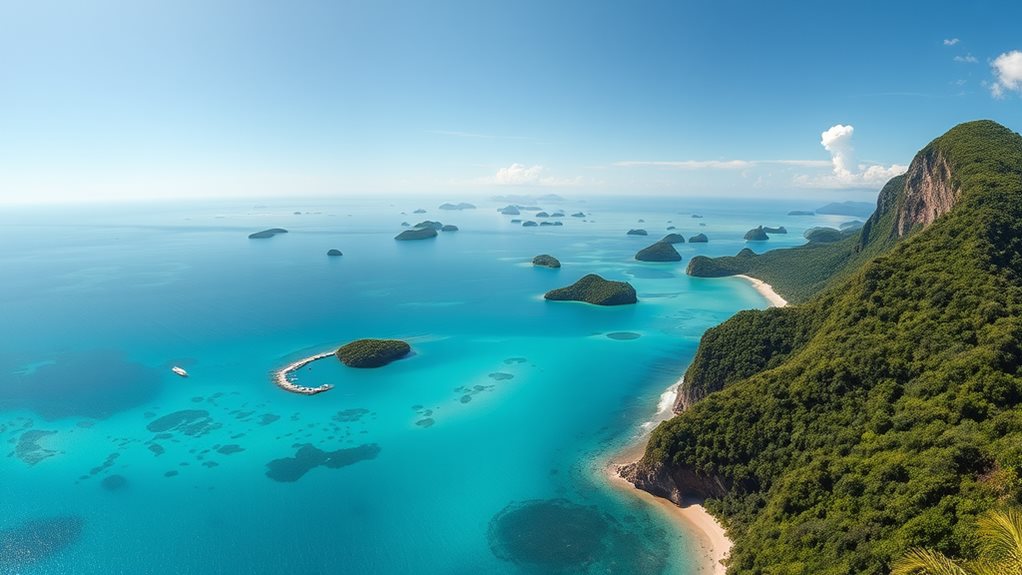
Exploring the vast and varied landscapes of Palawan reveals a unique archipelago, the largest province in the Philippines, spanning 14,649.73 km² with an intricate network of 1,780 islands and islets.
Host to a remarkable cultural diversity, Palawan is home to 81 different cultural groups and ethnicities, speaking 52 languages and dialects. This melting pot includes the indigenous Batak, Tagbanua, and Pala'wan communities.
The province's environmental conservation efforts are equally commendable. Declared a UNESCO Man and Biosphere Reserve, Palawan boasts 690,000 hectares of terrestrial forest and 42,500 hectares of mangroves. Containing 9,900 sq. km of coral reefs, Palawan plays a crucial role in maintaining regional marine biodiversity. Coral reefs
Key protected areas like the Tubbataha Reef Marine Park and the Puerto Princesa Subterranean River National Park, one of the "New 7 Wonders of Nature," underscore its commitment to safeguarding unique ecosystems and species.
Through initiatives like Republic Act 7611 and the Environmentally Critical Areas Network, Palawan manages to preserve its rich biodiversity while promoting sustainable development.
Lengthy Coastline
Spanning over 36,289 kilometers, of which much is intricate with islets and bays, the Philippines boasts one of the world's longest coastlines, ranking fifth globally and third in Asia. This distinction underscores its geographical importance in the Pacific Ring of Fire, where volcanic rock and coral form the islands' backbone.
This extensive coastline supports diverse fishing livelihoods, with approximately 40-60% of the nation's fish catch originating from coastal waters. Coastal tourism greatly contributes to the economy, attracting visitors to scenic beaches and vibrant marine life sites.
Nearly 60% of the population resides in these coastal areas, increasing pressure on coastal ecosystems and resources. Efforts in coastal conservation and rehabilitation aim to protect these crucial areas, while coastal infrastructure development continues to support growing population density. 66 out of 81 provinces are coastal, reflecting the significant reliance on maritime resources.
The Philippines manages over 800 coastal municipalities and provinces, each dependent on maritime resources for sustenance and prosperity.
Mountainous Terrain
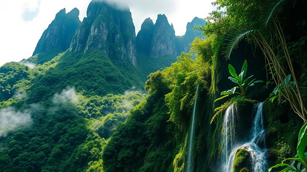
While the extensive coastline of the Philippines supports a thriving fishing industry and coastal tourism, the mountainous terrain presents a different yet equally essential landscape.
The Sierra Madre, Cordillera Central, Central Mindanao Highlands, Zambales Mountains, and Diuata (Diwata) Mountains dominate the interior, offering diverse geological formations and mountain ecosystems. These mountain ranges play a critical role in watershed management and ecological balance.
Mount Apo, at 2,954 meters, stands as the highest peak in the Philippines, while volcanic landscapes like Mount Mayon and Mount Pinatubo showcase the country's dynamic geological processes influenced by its position along the Pacific Ring of Fire.
Over 20 active volcanoes contribute to the rich fertility of valley soils, enabling significant agricultural practices.
Cloud forests on peaks such as Mount Pulag provide unique habitats for endemic species, underlining the importance of biodiversity conservation.
These areas also hold substantial eco tourism potential, attracting visitors interested in exploring the lush tropical rainforests and diverse microclimates shaped by the mountain terrain.
Coastal Lowlands
Numerous coastal lowlands dot the edges of the major Philippine islands, encompassing a variety of landscapes from narrow strips to expansive valleys adjacent to mountainous regions.
These lowlands support a wide range of coastal ecosystems, including mangroves and coastal wetlands, which are essential for biodiversity conservation. Lowland agriculture thrives here, producing rice, sugarcane, and coconuts due to the fertile soil.
Urban development has transformed parts of these areas, with significant centers like Metro Manila in Luzon driving economic growth. Meanwhile, fishing industries benefit from access to rich marine resources.
Disaster resilience poses significant challenges for these regions, as they are vulnerable to natural disasters such as typhoons and tsunamis, affecting disaster resilience. Climate impact poses an additional challenge, particularly regarding coastal erosion.
Despite these vulnerabilities, coastal lowlands play a critical role in shoreline protection and cultural heritage, maintaining ecosystems that are adapted to coastal conditions and hosting protected areas like national parks and wildlife sanctuaries.
Highest Mountain
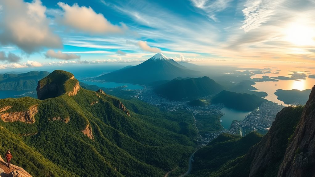
Mount Apo, a large solfataric, dormant stratovolcano located on the tripartite border of Davao City, Davao del Sur, and Cotabato, dominates the Apo-Talomo Mountain Range on Mindanao island, standing as a symbol of geological activity with its three peaks and expansive volcanic structure.
The southwest peak of Mount Apo reaches the highest elevation at 2,954 meters above sea level, making it the tallest mountain in the Philippines. This peak showcases a 200 m wide crater containing a small lake, highlighting the mountain's volcanic history. Mean temperature does not exceed 10°C (50°F) at the summit, indicating its alpine climate.
Numerous hiking trails provide access to the summit, with the easiest path originating from Kidapawan, taking 3–4 days roundtrip. These trails offer breathtaking views of Lake Venado, solfataras, and an old crater near the summit, making the ascent both challenging and rewarding.
Part of the Mount Apo Natural Park, the mountain supports high biological diversity, including the rare Philippine eagle, emphasizing its conservation significance.
Cagayan River Length
A river winds through the lush landscapes of northeastern Luzon Island, flowing north from its源头 in the Caraballo Mountains to empty into the Babuyan Channel near Aparri.
Named the Río Grande de Cagayán, or Cagayan River, this waterway stretches approximately 505 kilometers, originating in Dupax del Sur, Nueva Vizcaya, and traversing four provinces before reaching its mouth.
Its tributary systems, including the Magat, Chico, Ilagan, Pinacanauan, and Siffu-Mallig rivers, considerably influence its volume and ecological function.
The Cagayan River plays a fundamental role in agricultural productivity, supporting crops like rice and corn across a fertile valley.
Historically, it served as an essential transportation route, critical for trade and commerce. Today, local communities, primarily engaged in farming and fishing, include indigenous tribes such as the Ibanag and Gaddang.
However, during the monsoon season, the river can cause extensive flooding, necessitating flood management strategies.
Conservation efforts aim to protect its watershed, essential for sustaining river ecology and maintaining agricultural impact. Sedimentation and erosion pose ongoing challenges, impacting flood risks and river depth, but efforts to mitigate these issues support both environmental sustainability and local economies. Average annual rainfall ranging from 1,000 mm to 3,000 mm exacerbates flooding risks in the region.
Prominent Lakes
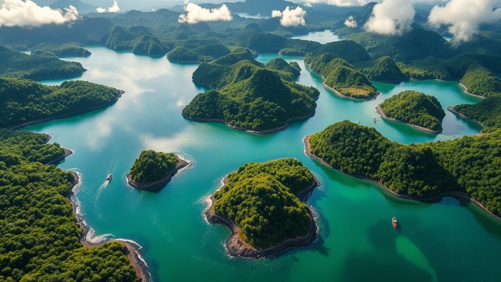
How do the largest and deepest lakes of the Philippines compare in size and importance?
Laguna de Bay, the largest, spans 949 sq km east of Metro Manila, with an average depth of 2.8 meters, supporting a robust fishing economy through its 21 tributaries. It is shaped like a stylized W, a feature that contributes to its unique characteristics and ecosystem.
Lake Mainit, in contrast, takes the deepest honors with a maximum depth of 223 meters, located in Surigao del Norte and Agusan del Norte in Mindanao, rich in aquatic resources including 18 endemic species of cyprinid fish, making it essential for local lake biodiversity.
Lake Lanao, while not as deep as Lake Mainit, is important with a maximum depth of 122 meters and contributes 70% of Mindanao's electricity, underlining its ecological and economic roles despite its size of 340 sq km.
These lakes also serve recreational activities, with Caliraya Lake offering windsurfing and fishing, while Naujan Lake supports boating and bird watching within its national park status.
Conservation efforts are significant for maintaining the ecological importance and economic benefits of these water bodies, ensuring the survival of their unique lake biodiversity and the sustainability of the fishing economy.
Volcanic lakes like Taal Lake, formed by eruptions, contribute to biodiversity and support scenic views and recreational opportunities near Tagaytay.
Ring of Fire Zone
Several dozen volcanoes dot the landscape of the Philippines, a country situated at the convergence of tectonic plates within the Pacific Ring of Fire. This location makes the Philippines particularly vulnerable to seismic activity and volcanic eruptions, with over 300 volcanoes and frequent earthquakes being common.
The subduction of tectonic plates not only shapes the geological landscape but also increases the risk of tsunamis. In response to these risks, disaster preparedness measures are robust, utilizing the Free Mobile Disaster Alerts Act (RA 10639) to disseminate SMS alerts during emergencies.
PHIVOLCS monitors volcanic activity closely, recommending the use of the VolcanoPH info app for real-time updates and encouraging monitoring via social media. Additionally, carrying a local SIM card guarantees you receive timely alerts from telecommunication companies collaborating with the government.
Understanding these geological phenomena and preparing accordingly is essential for maneuvering the challenges posed by the Ring of Fire zone.
The region experiences high seismic activity, including over 1,500 earthquakes annually, with major earthquakes often reaching magnitudes of 7.0 or higher.
Daily Earthquakes
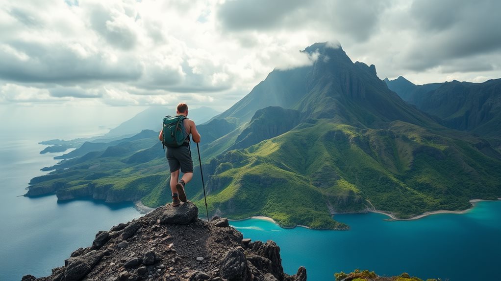
In the dynamic tectonic landscape of the Philippines, earthquakes occur almost continuously, with a tremor or jolt shaking the islands roughly every 10 hours. This frequency, averaging 12,000 quakes per year with around 2,700 registering magnitude 3 or higher, highlights the nation's vulnerability. Over the past decade, 8003 earthquakes of magnitude four or higher have been recorded within 300 km of the Philippines, with most (7236) oscillating at magnitude 4. Only 700 have reached magnitude 5, and 60 at magnitude 6, underscoring the rarity of larger events. In 2024, seismic activity continued, including a magnitude 7.6 earthquake in Hinatuan, Caraga, and a 4.6 tremor in Lukatan, Davao. Seismic monitoring plays an essential role, providing early warnings and important data to assess risks. Even the National Capital Region experiences occasional quakes, although with less frequency than other areas. Annual average Understanding these patterns enhances your readiness and safety in the face of daily seismic activity.
Active Volcanoes
Amid the dynamic geological environment of the Philippines, standing sentinel over the landscape are numerous active volcanoes, each with its unique characteristics and histories.
In Luzon, Mayon Volcano, known for its perfect cone and over 50 eruptions since 1616, rises to 2,460 meters in Albay. Taal Volcano, at 311 meters in Batangas, has erupted several times from AD 1572 to 1977, with its most recent eruption in 2020, making it the second most frequently erupting volcano in the country.
Pinatubo, with an elevation of 1,486 meters, straddles the boundaries of Pampanga, Tarlac, and Zambales; its 1991 eruption was one of the largest in the 20th century, impacting global climate. Bulusan, with four craters and several hot springs, is notorious for sudden phreatic eruptions and has erupted around 4 times. Bulusan's activity is closely monitored due to its potential threat to surrounding areas closely monitored.
Banahaw, at 2,170 meters in the boundaries of Laguna and Quezon, also ranks among active volcanoes.
Understandably, volcano monitoring and eruption prediction are essential to manage volcanic hazards and exploit geothermal energy potential. These volcanoes hold significant cultural importance, influence tourism potential, and have profound ecological impacts.
Major Earthquakes
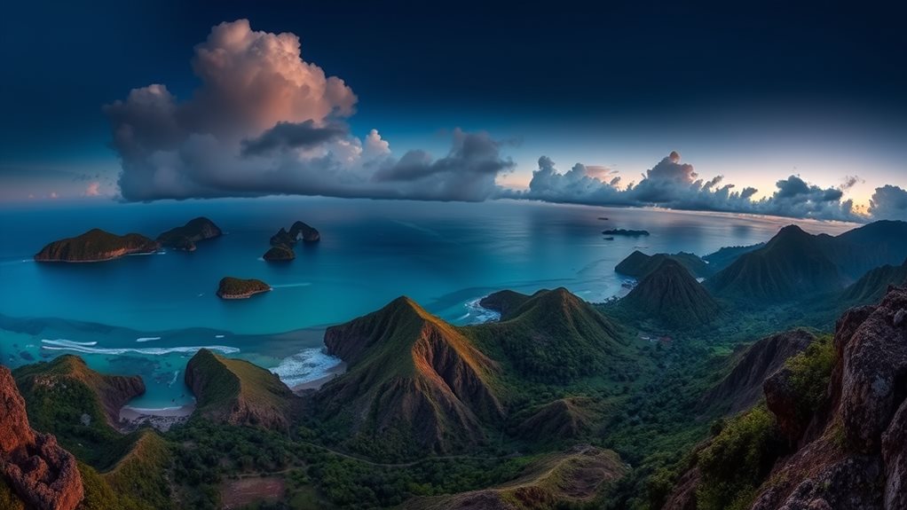
Exploring the earthquakes of the Philippines reveals a landscape shaped by seismic forces, with events ranging from the devastating 1976 Moro Gulf Earthquake to the recent 2023 Mindanao Earthquake.
The 1976 Moro Gulf Earthquake, with a magnitude of 7.9, stands out as the deadliest, claiming up to 8,000 lives and causing a tsunami. The significant 1990 Luzon Earthquake, with a magnitude of 7.8, also inflicted heavy damage, causing over 2,000 deaths across cities like Baguio, Dagupan, and Cabanatuan.
More recently, the 2023 Mindanao Earthquake, with a magnitude of 7.6, triggered a small tsunami and numerous aftershocks, causing significant damage and trauma.
These incidents highlight the need for earthquake preparedness and continuous seismic monitoring to mitigate risks and save lives. The frequency and impact of earthquakes underscore the importance of robust infrastructure and early warning systems to protect communities across the archipelago.
How Does the Philippines’ Role in International Diplomacy Impact Its Tourism Across Its 7,641 Islands?
The Philippines’ active participation in global affairs strengthens its appeal as a travel destination. Through a robust “philippines united nations diplomacy relationship,” the country fosters international goodwill, boosting trust and interest among foreign tourists. This positive global image encourages visitors to explore its 7,641 islands, rich in culture and natural beauty.
Tectonic Plate Convergence
The geological formation of the Philippines is a demonstration of the complex dance of tectonic plates, where the relentless movement of the Pacific, Australian, Indian, Eurasian, and Philippine Sea plates has sculpted over 7,641 islands through a process of convergence.
This tectonic history has played a pivotal role in island formation, carving out an archipelago through continuous collisions and subduction. The Pacific and Australian plates shifted towards the Asian Plate, crafting the Philippine Mobile Plate. Around 30 million years ago, the Indian Plate's collision with the Asian Plate generated a tear in the Earth's crust, forming the West Philippine Sea. Isolated islands like Mindoro and Palawan approached Luzon and Mindanao due to this crustal movement.
Subduction zones, including the Philippine and Manila Trenches, where oceanic plates slide beneath the archipelago, exhibit high seismic activity and volcano eruptions, further shaping the islands. These zones, coupled with the Philippine Fault Zone, drive ongoing geological processes, including the emergence of an undersea rise east of Isabela, poised to add another island to the Philippine territory.
Biodiversity Hotspot
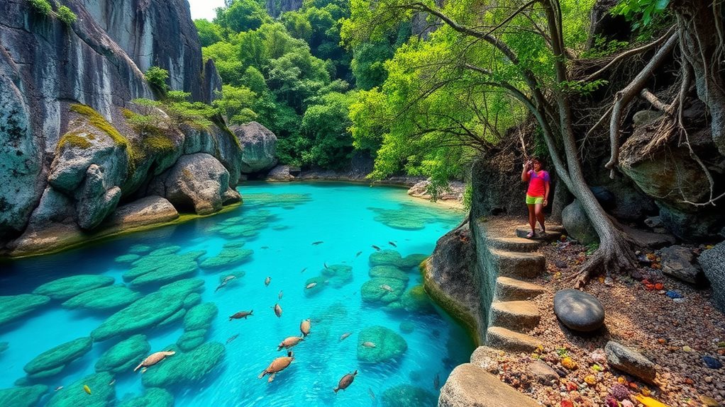
A cluster of more than 7,000 islands, the Philippines boasts rich biodiversity, with key hotspots such as the Cordillera and Sierra Madre mountain ranges, Palawan, and Mindoro, housing unique and endemic species found nowhere else on Earth.
In these areas, over 60% of the 167 mammal species and 65% of the 10,000+ plant species are endemic, making the ecological significance of these regions vital. Palawan, in particular, stands out as the "last ecological frontier," its unexplored forests and coastlines teeming with undisturbed wildlife.
Mindoro, with its diverse ecosystems ranging from lowland rainforests to coral reefs, similarly supports an array of unique species. Conservation efforts focusing on the establishment of protected areas, such as Key Biodiversity Areas declared "critical habitats" by Presidential Executive Order 578, play an essential role. Management boards and PES schemes aid in protecting these areas through sustainable practices. However, habitat loss, deforestation, climate change, and pollution pose significant biodiversity threats.
Only 7% of the original forest fragments remain, housing many endemic species, while nearly 420 animal species, including the Philippine eagle, are threatened with extinction. Addressing these challenges requires wildlife protection, environmental education, and community engagement to foster a sustainable balance. The Philippines contains 228 Key Biodiversity Areas, supporting 855 globally important species.