You're about to embark on a thrilling adventure to conquer Mount Apo, the highest peak in the Philippines, standing at 2,954 meters above sea level. First, plan your climb by obtaining permits, hiring guides and porters, and packing essential gear like a backpack, tent, and hiking shoes. Choose from scenic yet challenging trails like Sibulan or Sta Cruz, and prepare for dense rainforests, variable weather, and potential landslides. Stay alert and adapt to changing conditions by staying hydrated and fueled, pacing yourself wisely, and respecting nature. With careful preparation, you'll be well-equipped to tackle the summit. But before you tackle the climb of a lifetime, understand that safety and success depend on a sound strategy.
Planning Your Climb to Mount Apo

As you set your sights on conquering the summit of Mount Apo, the highest peak in the Philippines, the highest point at 2,954 meters (9,692 feet) above sea level makes the planning process even more significant. This means securing your permit and registration before starting the climb. Get your permit from the Kidapawan Tourism Office or the Tourism Office in Santa Cruz, and register at the local authorities to avoid any last-minute headaches. When choosing a route, consider that the challenging trail and challenges of climbing Mount Apo are classified as a challenging endeavor, suitable for experienced climbers.
You'll also need to secure climbing permission in advance, so be sure to plan ahead and choose a guide like Julius Paner who can assist with permits and the climb. Don't forget to hire guides and porters, who are mandatory for the climb, and ensure they're hired in advance.
Good physical shape is essential, so start building up your endurance and fitness level with regular exercise.
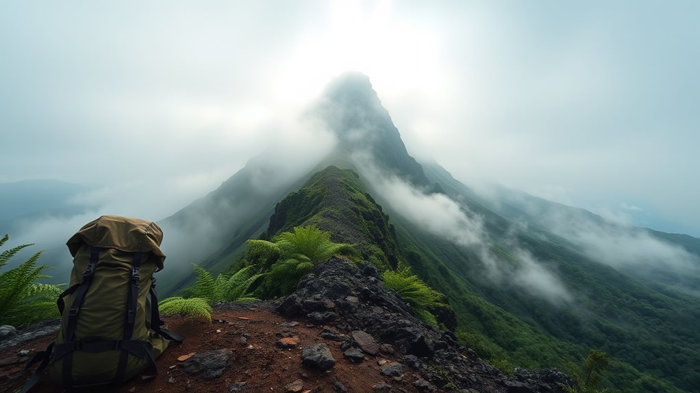
Before your climb, make sure you're equipped with the right gear, including a backpack, tent, sleeping bag, stove, and first-aid kit. Lightweight, durable, and waterproof gear is a must, and consider bringing a camera to capture the stunning views.
Plan a well-structured itinerary, including estimated arrival and departure times, to ensure a successful climb. Make sure to check the weather forecast as a change in weather can quickly impact the safety of your climb.
Hiking Trails and Trail Maps
Conquer Mount Apo: The Ultimate Guide to Hiking the Highest Peak in the Philippines
Hiking Trails and Trail Maps
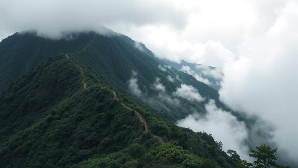
You're about to embark on a challenging yet exhilarating adventure on Mount Apo, with its intricate network of trails that will put your endurance and trekking skills to the test. The Kapatagan-Kidapawan traverse offers a scenic and challenging route to the summit, covering iconic sites such as Mount Apo Traverse. The trails vary in duration and difficulty, ranging from 8-10 hours of hiking each day across 3-4 days, with steep slopes and uneven terrain that demand good fitness and experience. Understanding the layout of these trails and being well-prepared with a solid plan and expert guidance (Mount Apo 2-3 Days Adventure) will be crucial to navigating the demanding terrain and reaching the summit safely.
Trail Durations and Difficulty
1. Trail Distance and Duration: The distance and duration of each trail vary from 2 to 4 days, depending on the route and your level of experience.
The trails have varying terrain and elevation gain ranging from rugged to moderate, which impact the overall difficulty level.
For example, FKTs require consideration of longest possible route scenarios, which can impact total duration, and an advanced difficulty level of 7/10 is one characteristic of Mt. Apo.
Longer trails like the Sibulan Trail take 3-4 days to complete, while shorter routes like the Sta Cruz Trail can be finished in 2-3 days.
2. Terrain and Elevation Gain: Trails like the Sibulan Trail involve rugged terrain, steep slopes, and unpredictable weather conditions, which make them more challenging.
In contrast, the Kidapawan Trail has a relatively moderate difficulty level and a well-established path.
3. Physical Fitness Requirements: Hiking Mount Apo requires an average to high level of physical fitness, so make sure you're prepared for the demands of the trail.
Consider your experience, fitness level, and weather conditions before choosing a trail.
Trail Maps and Directions
Conquer Mount Apo: The Ultimate Guide to Hiking the Highest Peak in the Philippines
Trail Maps and Directions (Hiking Trails and Trail Maps)
With the trail difficulties and physical fitness requirements now established, it's time to chart your course for Mount Apo's most thrilling routes. As you prepare to embark on this adventure, navigating the complex network of trails is crucial.
You'll need to get familiar with the various trail options, each with its unique characteristics and challenges. For the Sibulan Trail, follow the signs from the village of Sibulan, Davao del Sur, as you make your way through dense forests, across rivers, and up steep slopes. On most trails, including the Sibulan Trail, registration_required is essential to proceed.
Registration for climbing Mount Apo usually starts a week before the scheduled trip, best_time_to_start_registration.
Terrain and Environmental Conditions

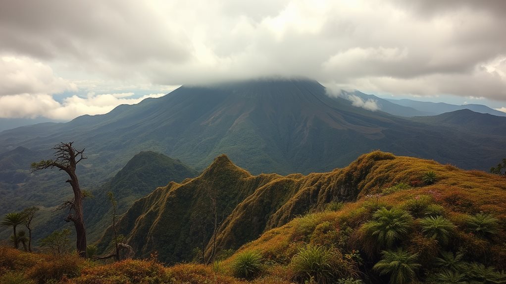
You'll navigate through the dense low-land tropical rainforests, characterized by numerous tree roots and slippery stones beneath your feet. Be mindful of potential snake encounters and take a moment to appreciate the incredible sights and sounds of this tropical paradise. The average temperature range for this low-land tropical forest is 3. 20-28°C or 68-82°F.
Climate and Weather Risks
As you gear up to tackle Mount Apo's rugged terrain, keep in mind the unpredictable climate and weather risks that come with the territory.
Heavy rains, floods, and landslides are common occurrences, especially during the winter months, which can significantly impact your hiking plans.
Rising air temperatures and more frequent extreme weather events due to climate change only add to the complexities of navigating the mountain's treacherous landscape.
Rainfall and Landslides
Mount Apo's rugged terrain is molded by weathering rains, a relentless drumbeat that echoes through the mountains. As you prepare for your hike, you must understand the impact of rainfall and landslides on your journey. The region experiences a high level of humidity, with monthly relative humidity ranging from 78% to 82%.
This, combined with an average annual rainfall of approximately 2,500 mm, makes Mount Apo one of the wettest places in the Philippines.
Key Rainfall and Landslide Risks:
- Consistent Rainfall: Rainfall is evenly distributed throughout the year, with an average precipitation ranging from 41 mm in February to 120 mm in August.
- Landslide Risk: Heavy rains and floods contribute to the risk of landslides, especially during the winter months, due to the terrain which includes slippery stones and areas with fewer trees and more boulders and slopes.
- Humidity: The region's high humidity, ranging from 78% to 82% monthly, plays a significant role in creating a more challenging, physically demanding hiking environment.
You must plan your hike carefully, taking into account the possibility of landslides and ensure you're equipped with necessary gear for varying weather conditions.
Heavy Rains Hazards
The heavy rains that lash Mount Apo's rugged terrain can bring with them a multitude of hazards, threatening hikers' safety and disrupting their trek. You'll need to be prepared for the potential risks that come with heavy rainfall in the region.
One of the primary concerns is the risk of flash flooding, which can occur when heavy rainfall causes rivers to rise and overflow their banks. This can lead to rapid changes in water levels and flow rates, posing hazards to hikers and making it difficult to traverse the terrain.
You should also be aware of the potential for soil movements and landslides, which can be exacerbated by heavy rainfall. The region's hydrological response to intense rainfall can lead to significant changes in river basin flooding, affecting areas around Mount Apo.
Assessing risks and hazards is crucial for safe hiking and emergency response planning. It's essential to coordinate with local authorities and build resilience in local communities through disaster risk reduction and emergency response strategies.
Stay vigilant and adapt to changing conditions to ensure your safety while hiking Mount Apo.
Safety Precautions and Emergency Response

Research and preparation are just as crucial as having the right gear and equipment when venturing into the unforgiving terrain of Mount Apo. You must be aware of the potential hazards and take necessary precautions to stay safe.
Here are three key considerations to keep in mind:
- Stay informed and prepared: Research the trail, assess your skill level, and create a trip plan with a detailed itinerary and emergency contact information.
- Pack essential gear: Bring reliable hiking shoes, layered clothing, and a first-aid kit. Ensure you have a good quality backpack to carry essential items like water, high-energy snacks, and emergency supplies.
- Be prepared for emergencies: Know emergency procedures, such as what to do in case of injuries or changing weather. Pack essential emergency items like emergency blankets, food, and a first-aid kit.
What Makes Mount Apo Stand Out Among the Philippines’ Most Scenic Mountain Trails?
Mount Apo, the highest peak in the Philippines, offers breathtaking views, lush biodiversity, and challenging terrain that sets it apart from other philippines mountain trails. Towering at 2,954 meters, its volcanic landscape, hidden waterfalls, and unique flora and fauna make it a bucket-list destination for adventurers and nature lovers alike.
Logistics and Transportation Options
Navigating the mountain trails of Mount Apo is just as much about logistics as it's about physical endurance.
You'll want to start by getting to Davao City, which is the nearest major urban hub to the mountain. You can fly from Manila to Davao City, which takes around 1.5 to 2 hours and costs between ₱2,000 to ₱5,000, depending on the season and airline. Multiple flights operate daily, but you can also consider flying to nearby airports and taking land transportation to Davao City.
Once in Davao City, you'll need to arrange transportation to the trailheads. Buses or vans leave from Ecoland Bus Terminal and take around 2-4 hours, depending on the distance. You can also rent a car or van for private transportation.
At the trailheads, be sure to hire a local guide, as it's mandatory for safety and environmental preservation. You'll need to secure a climb permit and obtain necessary certifications and registrations before embarking on your journey.
With a solid plan in place, you'll be ready to tackle the mountain trails of Mount Apo with confidence.
Preparing for the Physical Challenge

As you prepare to take on the might of Mount Apo, you'll want to get your body in top condition to tackle the grueling trails ahead. Streamlining your body for the challenge requires a combination of physical training, specialized gear, and mindful nutrition.
Start by building your endurance and strength through regular exercise, such as running, strength training, and yoga.
To specifically prepare for the demands of hiking and climbing, focus your training on lower body strength exercises. Participate in long distance hikes with elevation gain to build physical and mental stamina.
Here are three key factors to help you prepare for the ultimate physical challenge:
- Train your lower body with exercises that mimic hiking and climbing, such as squats and lunges.
- Incorporate cardio exercises, like daily jogs, to increase your stamina and endurance.
- Practice flexibility exercises, like stretching, to prevent injuries and improve your mental toughness.